2011
NZ2541 : Multi-user path in Broompark Picnic Area
taken 13 years ago, near to Bearpark, County Durham, England
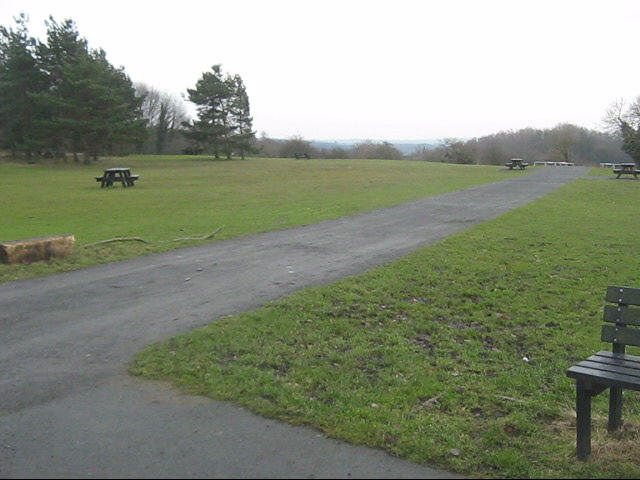
Multi-user path in Broompark Picnic Area
 Map © Crown Copyright")
TIP: Click the map for more Large scale mapping
- Grid Square
- NZ2541, 25 images (more nearby 🔍)
- Photographer
- peter robinson (more nearby)
- Date Taken
- Wednesday, 9 February, 2011 (more nearby)
- Submitted
- Saturday, 12 February, 2011
- Subject Location
-
OSGB36:
 NZ 250 414 [100m precision]
WGS84: 54:46.0360N 1:36.6938W - Camera Location
-
OSGB36: NZ 250 415
- View Direction
- South-southeast (about 157 degrees)